Day 5


Bunratty Castle


So beautiful and So windy!


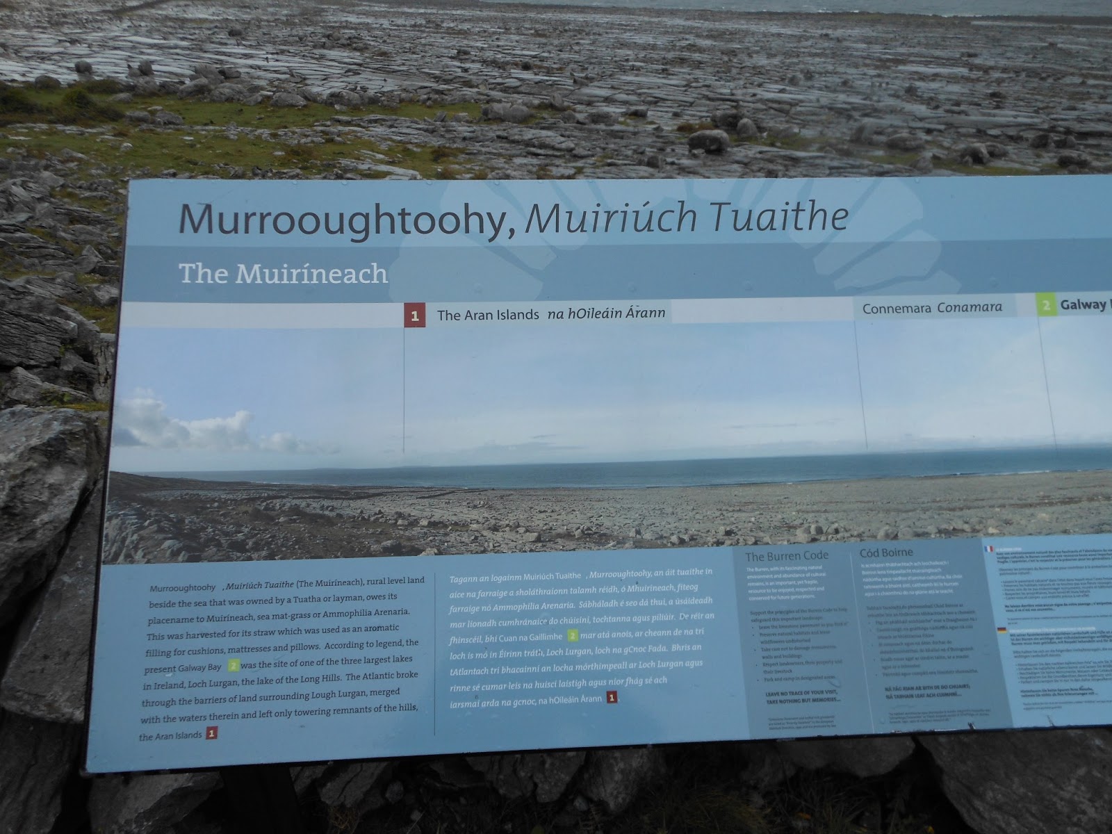
The Cliffs of Moher
The Cliffs of Moher are located at the southwestern edge of the Burren region in County Clare, Ireland. They rise 120 metres (390 ft) above the Atlantic Ocean at Hag's Head, and reach their maximum height of 214 metres (702 ft) just north of O'Brien's Tower, eight kilometres to the north. The cliffs receive almost one million visitors a year.


O'Brien's Tower is a round stone tower near the midpoint of the cliffs built in 1835 by Sir Cornelius O'Brien to impress female visitors. From the cliffs and from atop the watchtower, visitors can see the Aran Islands in Galway Bay, the Maumturks and Twelve Pins mountain ranges to the north in County Galway, and Loop Head to the south.


The Cliffs of Moher have appeared in numerous media. In cinema, the cliffs have appeared in several films, including: The Princess Bride (1987) (as the filming location for "The Cliffs of Insanity"), Harry Potter and the Half-Blood Prince (2009), and Leap Year (2010). The cliffs are mentioned in the Martin Scorsese film Bringing Out the Dead (1999), and are noted in the 2008 documentary Waveriders as the location of a large surfing wave known as "Aileens".


Breathtaking scenery!


Dunguaire Castle
Dunguaire Castle is a 16th-century tower house on the southeastern shore of Galway Bay in Count Galway, near Kinvarra. The name derives from the Dun of King Guaire, the legendary king of Connacht. Today, the castle's 75-foot tower and its defensive wall have been restored to excellent condition, and the grounds are open to tourists during the summer. It is thought to be the most photographed castle in Ireland.
Day 6


Cong Abbey
Cong Abbey is a historic site located at Cong, on the borders of counties Galway and Mayo, in Ireland's province of Connacht. The ruins of the former Augustinian abbey mostly date to the 13th century and have been described as featuring some of finest examples of medieval ecclesial architecture in Ireland.


Famous poet, William Butler Yeats is buried in the Protestant churchyard, Drumcliff, Ireland


The following poem was carved in the stone in the pictures above:
HAD I the heavens' embroidered cloths,
... Enwrought with golden and silver light,
The blue and the dim and the dark cloths
Of night and light and the half-light,
I would spread the cloths under your feet:
But I, being poor, have only my dreams;
I have spread my dreams under your feet;
Tread softly because you tread on my dreams.
by William Butler Yeats
The blue and the dim and the dark cloths
Of night and light and the half-light,
I would spread the cloths under your feet:
But I, being poor, have only my dreams;
I have spread my dreams under your feet;
Tread softly because you tread on my dreams.
by William Butler Yeats
Day 7
Derry / Donegal / Glenveagh National Park


Derry
Derry or Londonderry is the second-largest city in Northern Ireland and the fourth-largest city on the island of Ireland. The name Derry is an Anglicisation of the Irish name Daire or Doire meaning "oak grove". In 1613, the city was granted a Royal Charter by King James I and the "London" prefix was added, changing the name of the city to Londonderry. While the city is more usually known as Derry, Londonderry is also used and remains the legal name.


Glenveagh Castle
Glenveagh Castle is a large castellated Mansion house built in the Scottish Baronial style within Glenveagh National Park, near both Churchill and Gweedore in County Donegal. The castle was built between 1870 and 1873 and consists of a four storey rectangular keep surrounded by a garden, and has a backdrop of some 165.4 km² (40,873 acres) of mountains, lakes, glens and woods complete with a herd of red deer.


Day 8
Giant's Causeway / Rope Bridge / Dunluce Castle


Giant's Causeway
The Giant's Causeway is an area of about 40,000 interlocking basalt columns, the result of an ancient volcanic eruption.


Gorgeous!!


Here we go!


I took this picture very quickly as my legs were shaking crossing the bridge!


Made it! Oh, I have to go back that same way?


Carrick-a-Rede Rope Bridge
Carrick-a-Rede Rope Bridge is a famous rope bridge near Ballintoy in County Antrim, Northern Ireland. The bridge links the mainland to the tiny island of Carrickarede , meaning "rock of the casting". It spans 20 metres (66 ft) and is 30 metres (98 ft) above the rocks below.
Day 9
Belfast
Belfast, meaning "mouth of the sandbanks" is the capital and largest city of Northern Ireland. Most of Belfast is in County Antrim, but parts of East and South Belfast are in County Down. It is on the flood plain of the River Lagan.


Black cab tour of Belfast


The Peace Walls
The peace lines or peace walls are a series of barriers in Northern Ireland that separate Catholic and Protestant neighbourhoods. They have been built at urban interface areas in Belfast, Derry, Portadown and elsewhere. The stated purpose of the Peace lines is to minimise inter-communal violence between Catholics (most of whom are Irish nationalists who self-identify as Irish) and Protestants (most of whom are unionists who self-identify as British).


Titanic Belfast is located in the heart of Belfast, on the slipways where RMS Titanic was built.


The Glyde Inn
The Glyde Inn is situated in Annagassan famous for Linn Duachaill, a famous Viking Longphort located in an area of outstanding natural beauty overlooking the Cooley and Mourne Mountains.
The pub itself was established in the 1700's and retains its traditional Irish image. The combination of the pub's traditional feel, the Linn Duachaill restaurant and B&B, ensures a relaxing, memorable and interesting experience.
The pub itself was established in the 1700's and retains its traditional Irish image. The combination of the pub's traditional feel, the Linn Duachaill restaurant and B&B, ensures a relaxing, memorable and interesting experience.


Group photo at our last stop before going our separate ways in Dublin
* Information in italics are provided by Wikipedia
Highly recommend:
Paddy Wagon Tours: http://www.paddywagontours.com/
The Cliffs of Moher: http://www.cliffs-moher.com/
Dunguaire Castle: http://www.kinvara.com/dunc.html
Glenveagh National Park: http://www.glenveaghnationalpark.ie/
Giant's Causeway: http://www.giantscausewayofficialguide.com/